How to find Ballater Caravan Park |
Ballater |
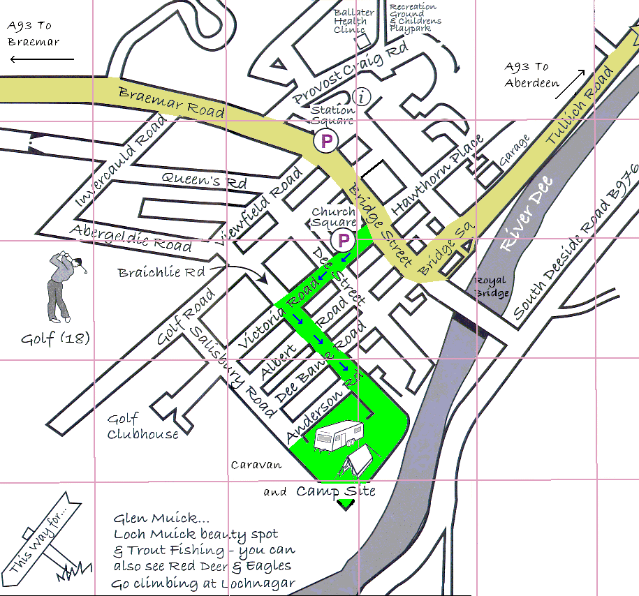
Ballater lies astride the A93 the tourist route linking Perth to Aberdeen. It is about 70 miles north of Perth and 40 miles west of Aberdeen. As the description ‘tourist route’ indicates, this road is full of lovely views. From Perth the road climbs steadily until it reaches the Glenshee Ski Centre before descending to Braemar then turning east to Ballater and Aberdeen. |
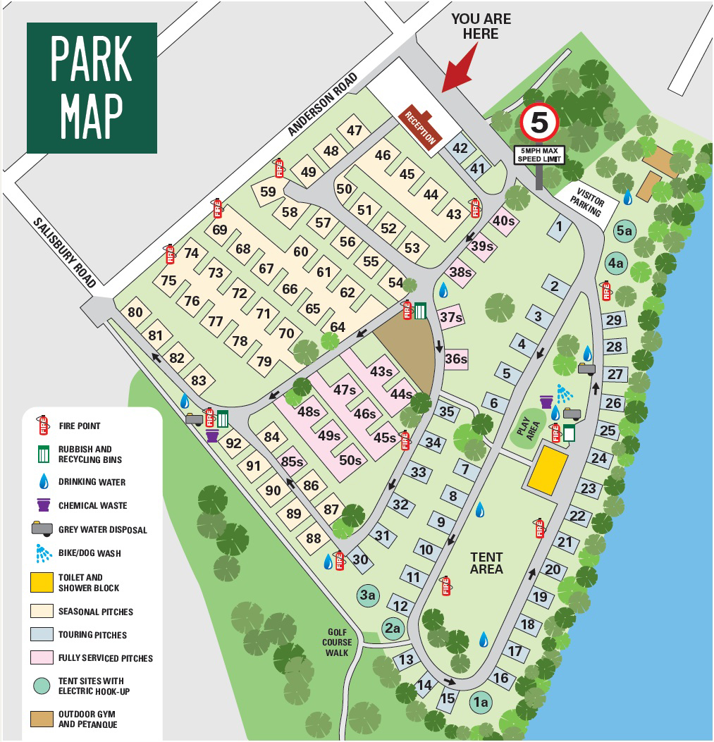
The Caravan Park (see map below) |
Ballater Caravan Park lies in a quiet spot bordered by the River Dee and Ballater Golf Club. It is about half a mile, or just a short walk, south of the village centre. |
Entering Ballater from the west: continue to the centre of the village where Glenmuick Church dominates the village green. Turn right immediately after the Church into Victoria Road. After about 400yards (or metres) turn left into Braichlie Road. The caravan park is straight ahead. |
Entering Ballater from the east: continue to the centre of the village where Glenmuick Church dominates the village green. Turn left immediately before the church into Victoria Road. After about 400yards (or metres) turn left into Braichlie Road. The caravan park is straight ahead. |
| |
 |
 |
The map of the village centre is an extract from the 'Ballater Fun Map'
– don’t forget to request a copy! |
Distance
Balmoral Castle 9 miles, Braemar 17 miles, Aboyne 11 miles, Aberdeen 42 miles. |
Some useful links |
|
|
| |